
Revolutionizing Site Surveys with Precision Drones
Sky High Surveys delivers expert drone site surveys across the UK, providing accurate aerial data to support construction, land inspections, and project planning with unmatched clarity.
Precision Drone Surveys for Land and Construction
Explore our comprehensive drone survey services, delivering accurate aerial data to support your projects with confidence.
Roof Inspections
Detailed inspections to assess the condition of roofs and identify any potential issues.
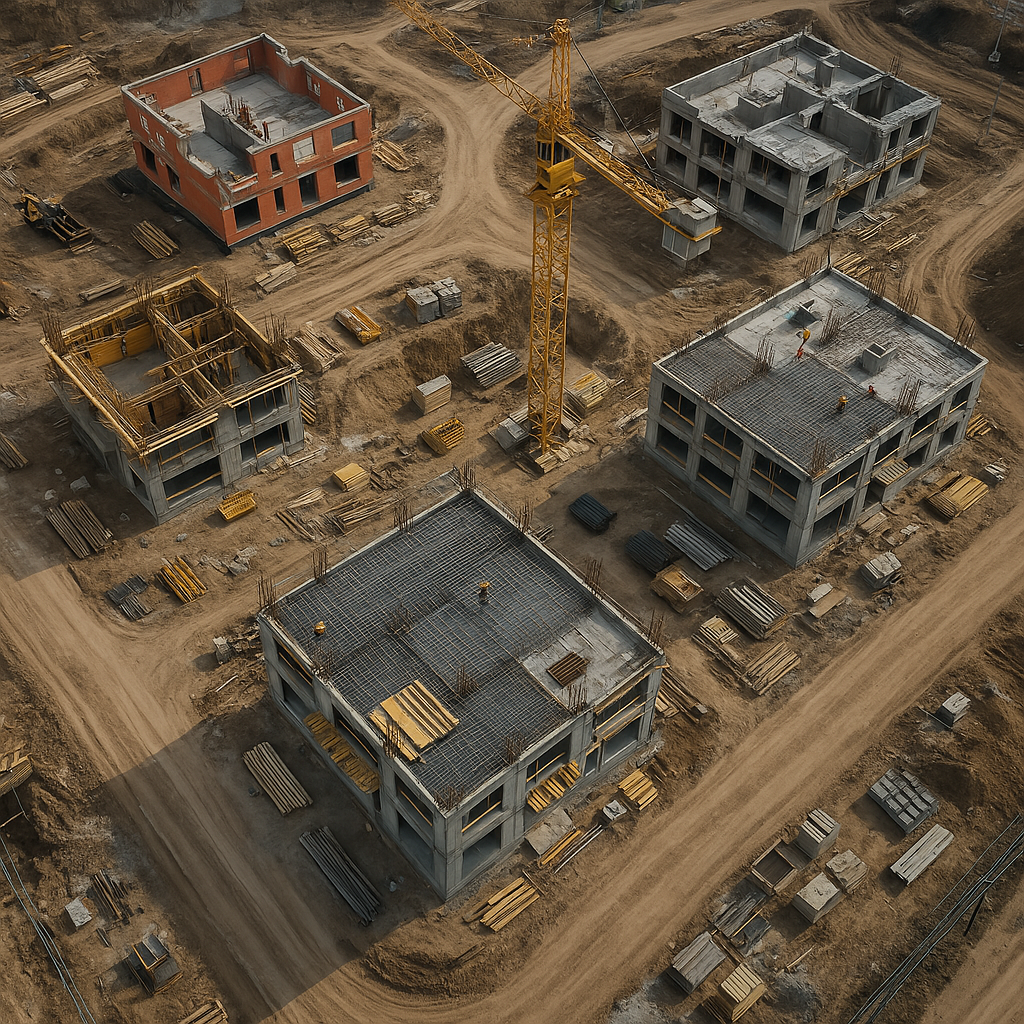
Construction Site Mapping
Accurate aerial mapping to monitor progress and ensure project compliance.
Land and Property Inspections
Detailed inspections to identify issues and maintain site safety efficiently.
Topographic Surveys
High-resolution terrain models for precise planning and development.
Accurate Aerial Data Solutions Across the UK
Sky High Surveys is committed to delivering precise drone site surveys tailored to construction and land inspection needs. We pride ourselves on accuracy, reliability, and advancing project success through innovative aerial data collection across the UK.


Precision Aerial Data for UK Construction and Land Surveys
Delivering accurate drone surveys for construction, inspection, and mapping.

Comprehensive Site Mapping
Capture detailed aerial maps to support project planning and monitoring.
Rapid Data Collection
Quick turnaround on survey data to keep your projects on schedule.

Expert Drone Pilots
Certified pilots ensuring safe and professional survey operations.
Advanced Data Analysis
Utilizing cutting-edge tools to convert drone data into actionable insights.
Accurate Drone Surveys for Your Projects
Subscribe now to receive expert insights and stay ahead in your site planning.
Sky High Surveys delivered precise aerial data that transformed our project planning with unmatched professionalism.

Emma Clarke
Project Manager